Image Gallery: The Maupertuis Symposium Explored the History of Science and Scientific Tourism
Written byMiila Kankaanranta
Maupertuis Expedition 290 Symposium was held in Tornio and the southern Tornio Valley from September 4 to 6, 2026. The three-day event featured expert presentations, a panel discussion, an exhibition, a church concert, and excursions to the historical degree measurement sites.
Symposium Opening
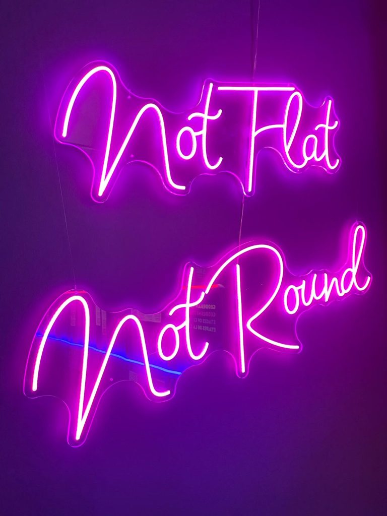
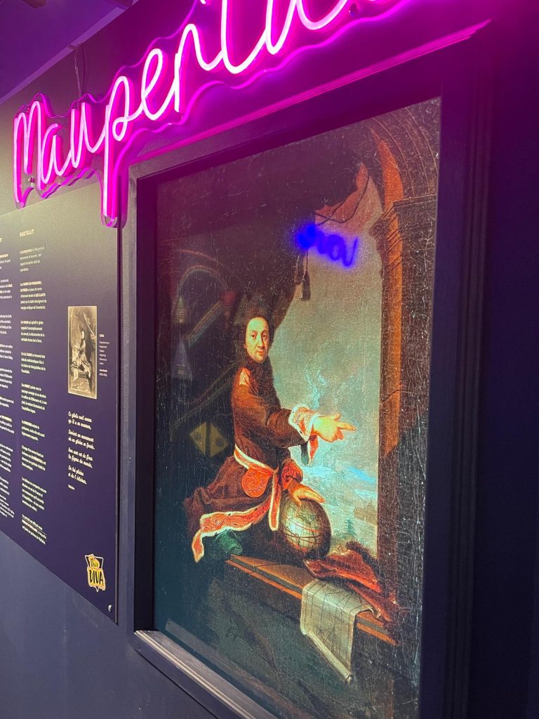
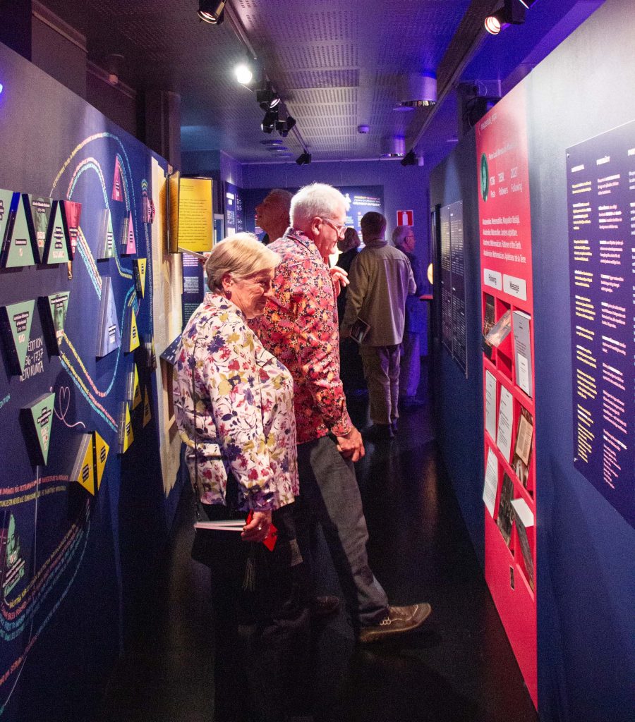
The symposium’s invitation-only opening ceremony took place on September 3 at the Museum of Torne Valley. The week before, the museum had opened an exhibition on the local history of the geodesic measurement project titled Not Flat Not Round – The Shape of the Earth Was Measured Here.
The exhibition was created in collaboration between the museum and the Maupertuis Foundation.
Photo: Miila Kankaanranta.
Photo: Miila Kankaanranta.
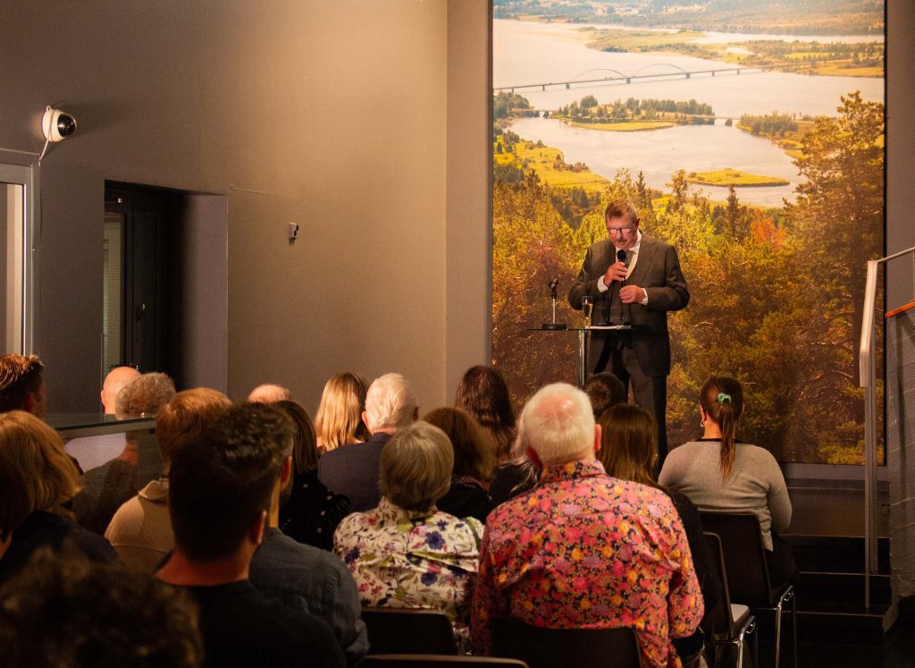
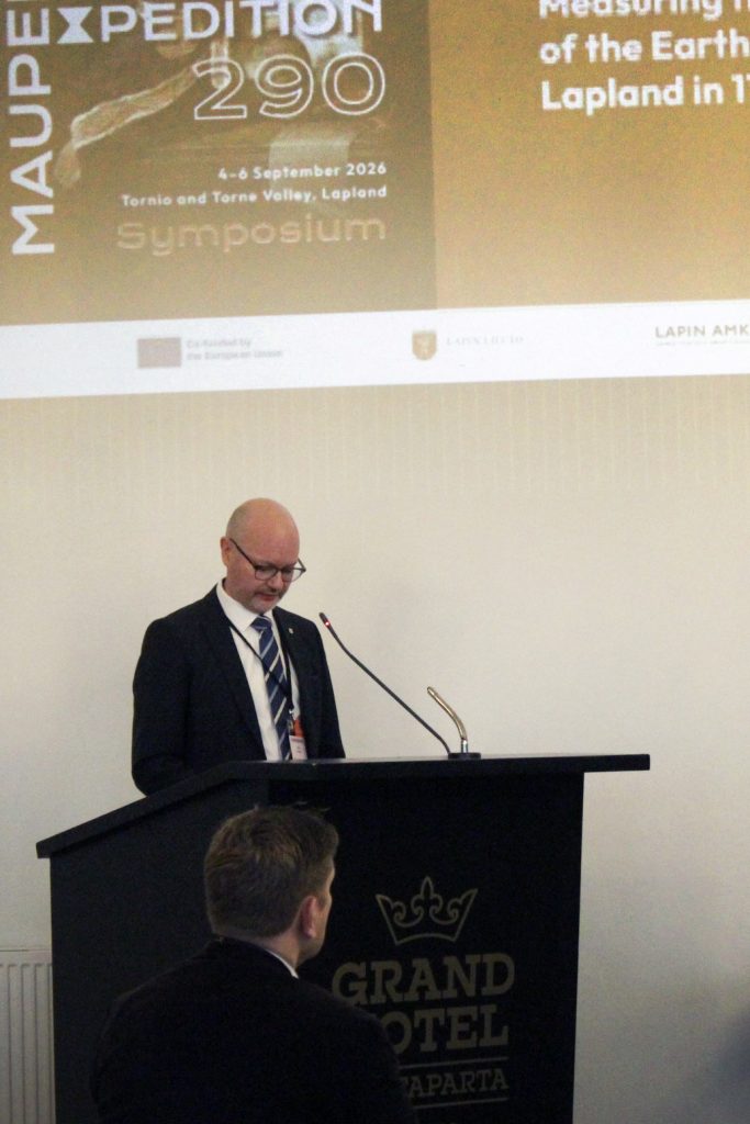
Veli-Markku Korteniemi, Chair of the Maupertuis Foundation, opened the event at the Museum of Torne Valley. Photo: Natalia Pulakka.
Ian Hembrow, author of a biography of Celsius, explores Maupertuis’s fictional Instagram profile. Created for the exhibition, the profile can be followed on social media at @maupertuis_expo. Photo: Natalia Pulakka.
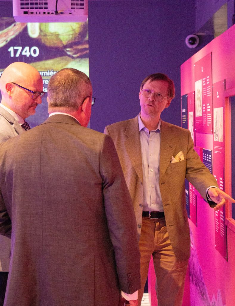
Tornio Mayor Jukka Kujala (left) and Veli-Markku Korteniemi listen as historian of science Johan Stén presents Anders Celsius’s quadrant. It is one of the valuable artefacts on loan for the exhibition. Photo: Natalia Pulakka.
Expert Insights
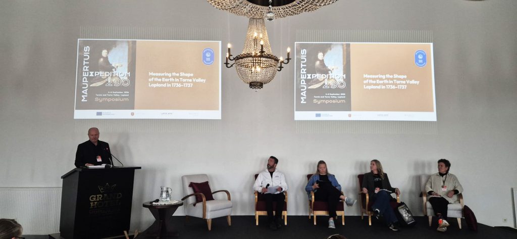
Ten experts from across Europe gathered for the symposium. Beneath the crystal chandeliers of the Grand Hotel Mustaparta ballroom, the topic was explored from a multidisciplinary perspective, as the speakers represented backgrounds in both the natural sciences and the humanities.
Tornio Mayor Jukka Kujala, who also serves as Chair of the Council of Torne Valley, opened the symposium. “Science transcended national borders, languages, and cultures. New knowledge was created through collaboration,” Kujala said in his address. Photo: Julia Halttu.
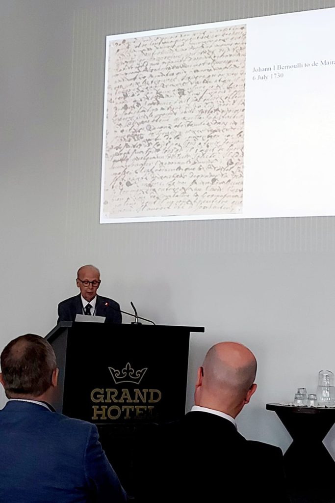
Fritz Nagel specializes in the correspondence of the Swiss mathematician family, the Bernoullis. Maupertuis asked the elder Johann Bernoulli to be his mentor and also maintained an active correspondence with the younger Bernoulli. One of the key differences between Maupertuis and the Bernoullis was their attitude toward Newtonian natural philosophy. Photo: Inari Porkka.
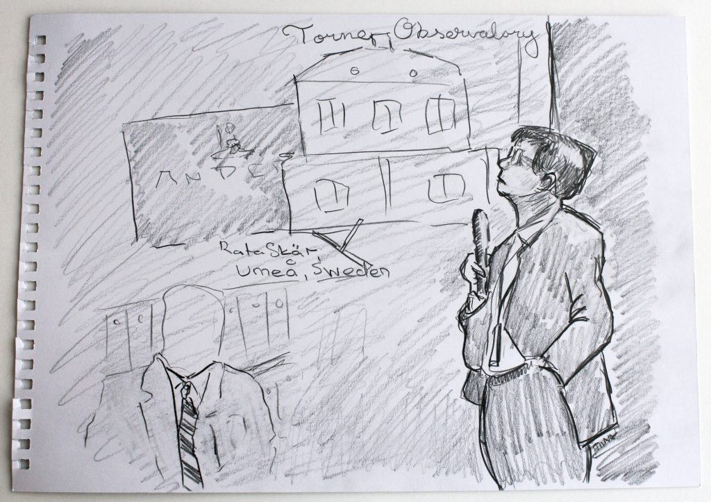
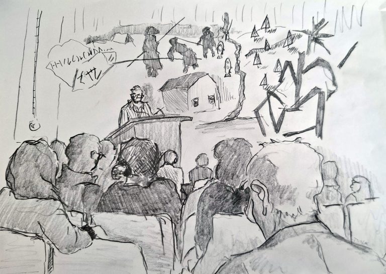
First-year Fine Arts students from Lapland University of Applied Sciences captured the atmosphere of the symposium through sketching. In this image, historian of science Johan Stén of the University of Helsinki, who served as the symposium moderator, speaks about Anders Hellant of Tornio, who acted as an interpreter for Maupertuis’s expedition. Hellant later established an astronomical observatory in his home, known as Torneå Observatorium. Drawing: Tiina.
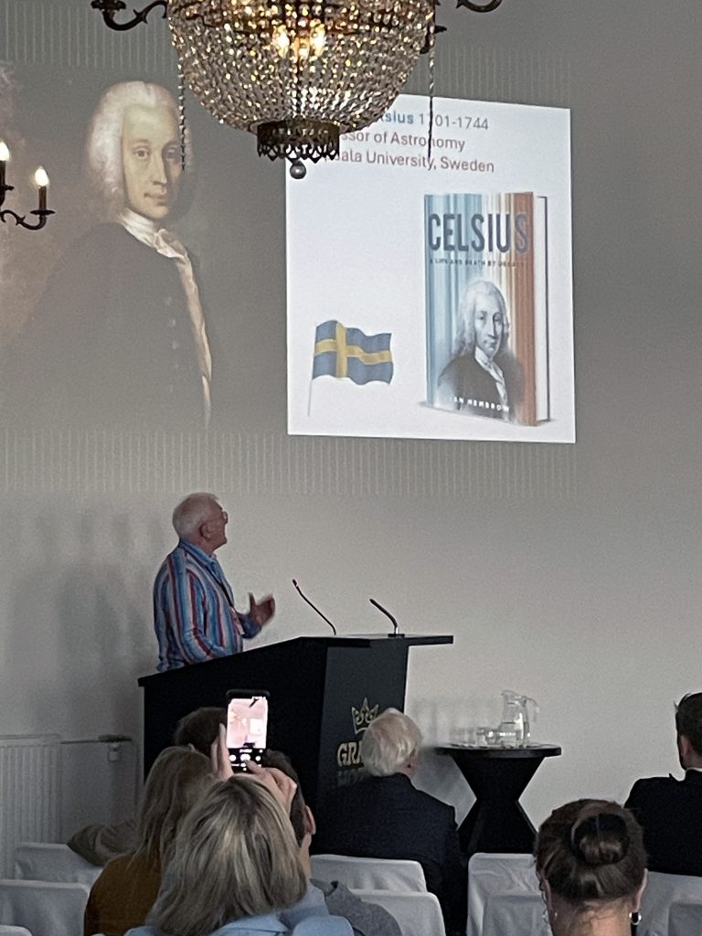
Ian Hembrow vividly recounted the story of Anders Celsius, Professor of Astronomy at Uppsala University. According to Hembrow, Celsius played a crucial role in the degree measurement expedition in the Torne Valley. Photo: Miila Kankaanranta.
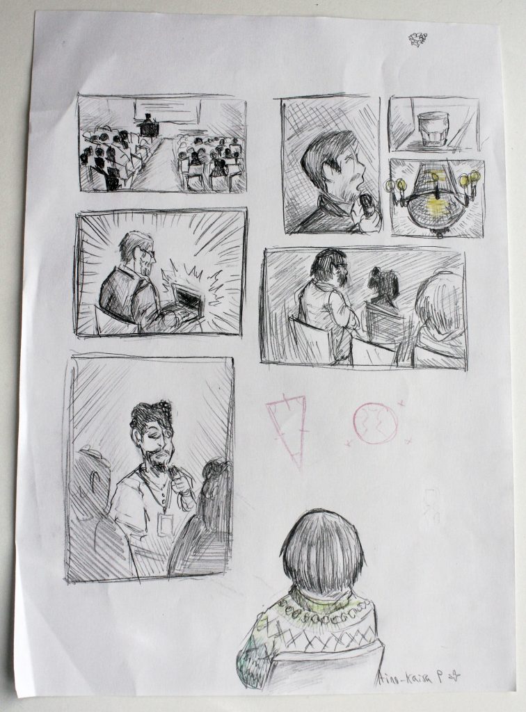
Bottom left, Daniel Schlesinger, who spoke about his personal journey toward researching the baseline of Maupertuis’s triangulation network. Schlesinger is working to determine the exact location of the southern endpoint of the baseline. Drawing: Aino-Kaisa P.
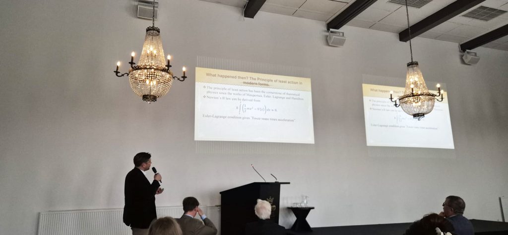
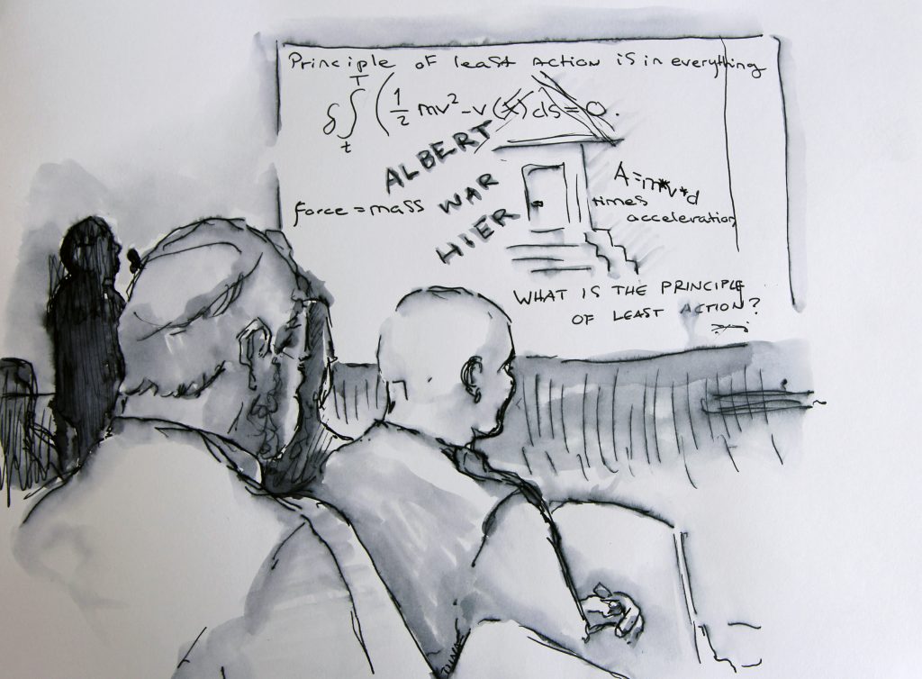
Jussi Lindgren, Doctor of Technology and economist, presents the principle of least action, a concept developed by Maupertuis. Photo: Julia Autio.The scene shown in the image above, Jussi Lindgren explaining the principle of least action, as seen through the eyes of a sketch artist. Drawing: Tiina.
A Musical story of Maupertuis’s Journey
The first day of the symposium concluded with a chamber concert at Tornio Church. For many years, Tornio residents Esa Rautiainen, Elina Söderström, and Jakke Salomaa have been creating and performing music inspired by the story of Maupertuis. Watch an excerpt from the concert in the video below:
Video: Julia Autio.
The Second Day Focused on Travelling to the Imagined Lapland
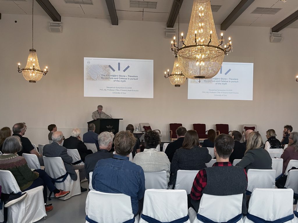
Historian Matti Enbuske of the University of Oulu spoke about the legendary Käymäjärvi Stone, which drew Maupertuis and Celsius to Pajala. In earlier writings, the stone had gained a reputation as a runestone, believed to be evidence of the long and distinguished cultural history of the Kingdom of Sweden. According to modern researchers, however, the markings that resemble inscriptions are in fact natural formations. Photo: Miila Kankaanranta.
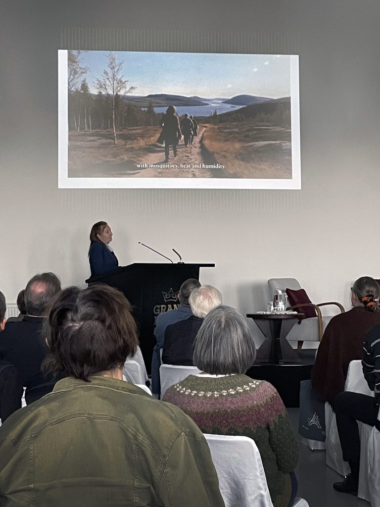
French literature professor Sylvie Requemora included in her presentation a video she had produced about the remarkable life of playwright and adventurer Jean François Regnard. Regnard wrote Voyage en Laponie (1681) following his journey to Lapland, creating for a French audience an image of Europe’s far north. Photo: Miila Kankaanranta.
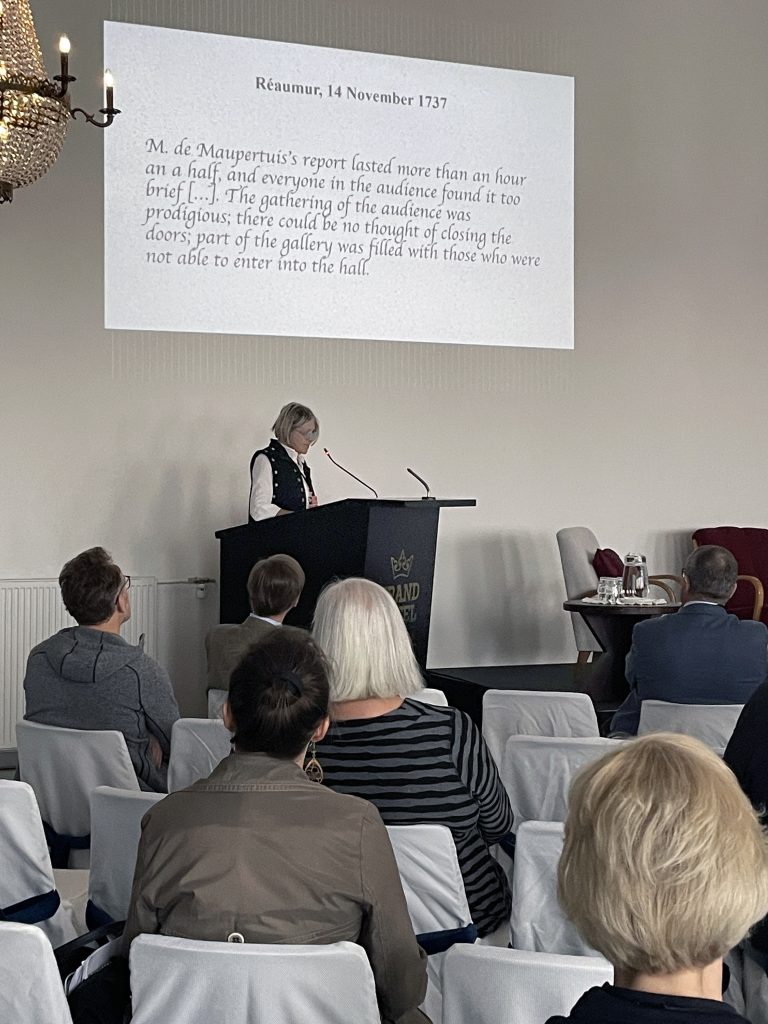
Literary scholar Anouchka Vasak approached Maupertuis’s La Figure de la Terre as an adventure narrative. In her presentation, she quoted American historian Mary Terrall, author of a biography of Maupertuis, reminding the audience that “without the numbers there would have been no story.” Photo: Miila Kankaanranta.
The travel-themed presentations concluded with a panel discussion on the opportunities for developing cultural tourism in the Torne Valley. The discussion was moderated by Jarkko Saarinen, who later wrote a blog post about the panel for the University of Oulu’s In Search of Resilience blog.
Moderator Jarkko Saarinen (left) and the panelistis Juha Pekka Koskinen, Chair of the Board of Visit TornioHaparanda Assoc, and Iida Pyykkö, Project researcher in the CROCUS project, University of Oulu, and Titta Kallio-Seppä, Director of the Museum of Torne Valley, and Ulla Mikkanen, National Land Survey of Finland, World Heritage Coordinator. Photo: Julia Autio.
Excursions to the Degree Measurement Sites
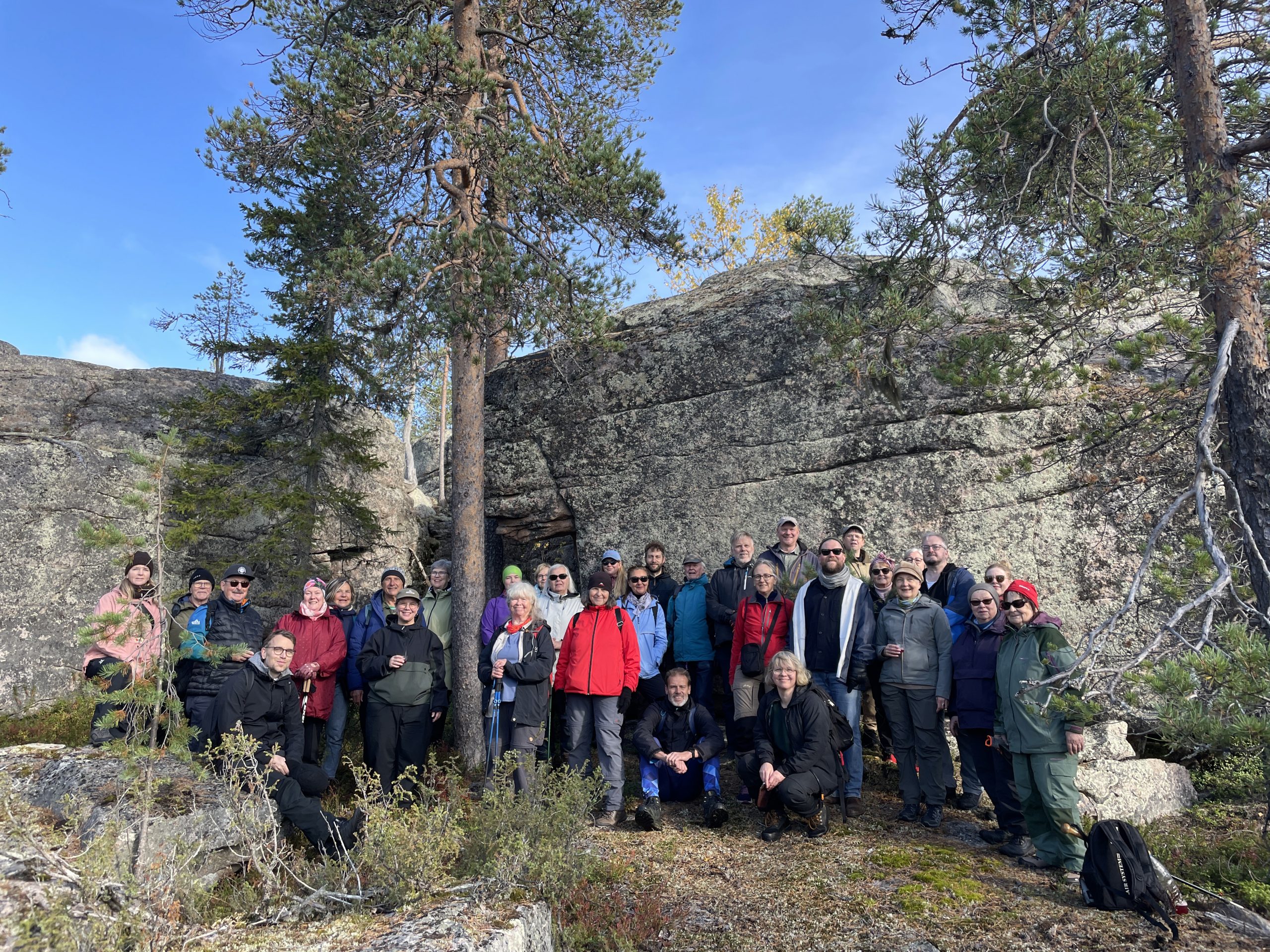
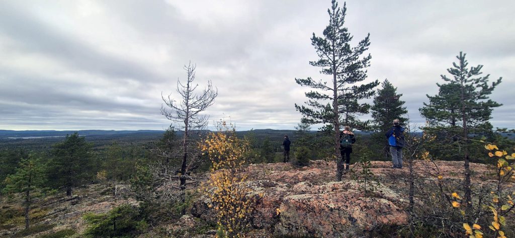
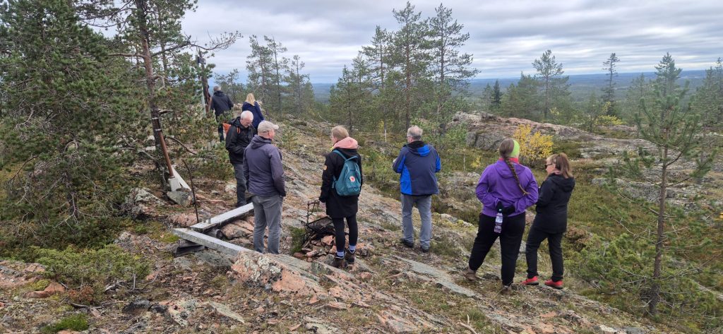
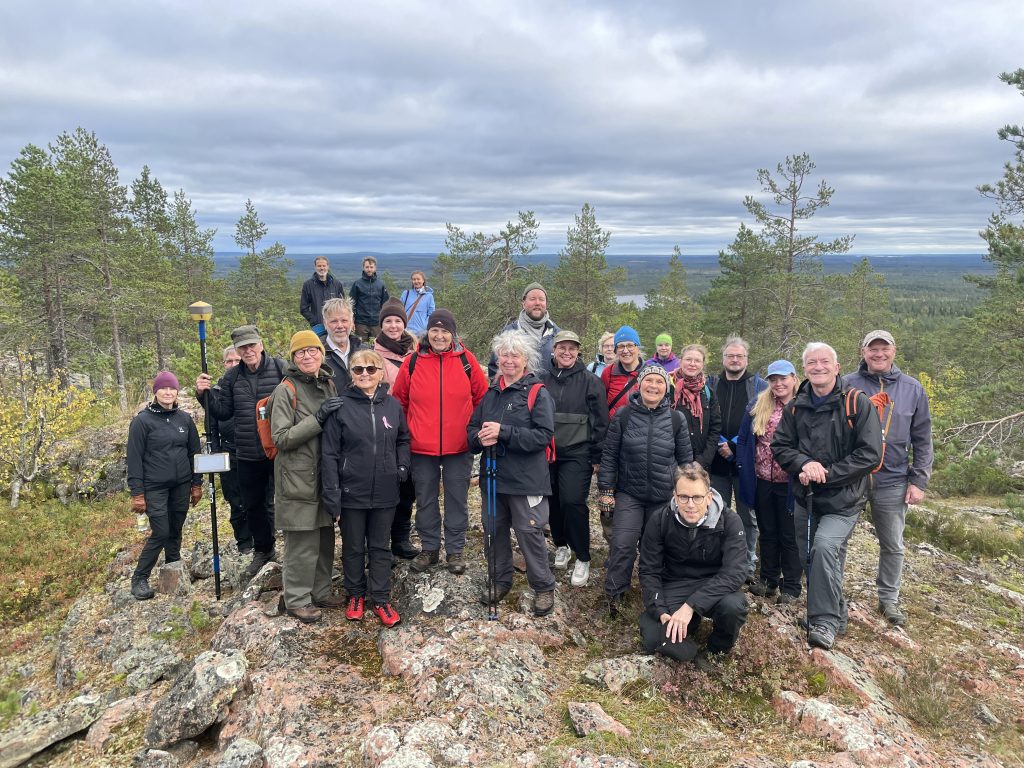
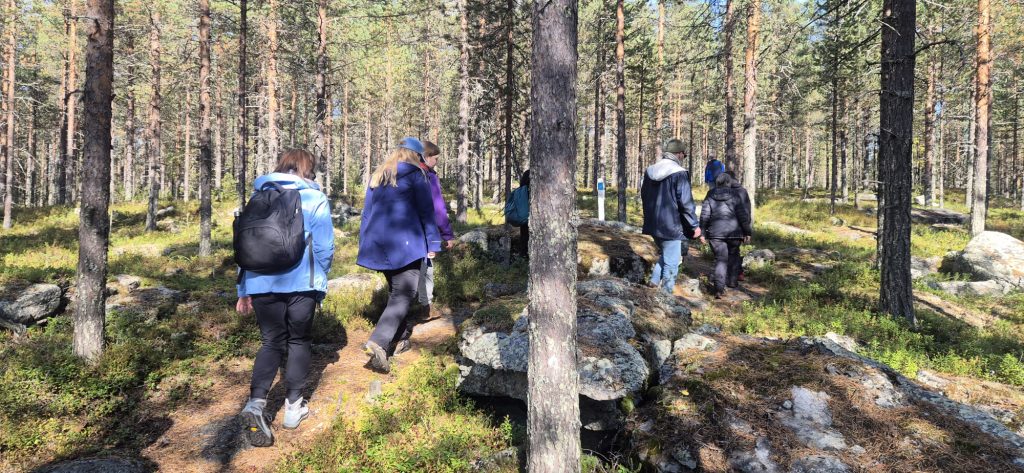
After the symposium sessions had concluded, some participants continued their journey to the historic degree measurement sites. Over the course of a day and a half, the group climbed to four of the survey points. The triangulation network established by Maupertuis’s expedition consists of ten points in total, where angular measurements were carried out.
1. Huitaperi Hill
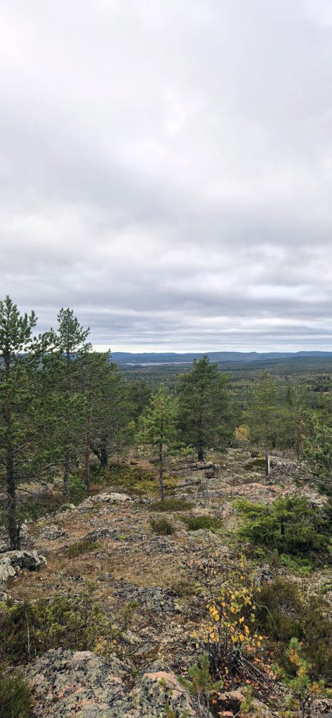
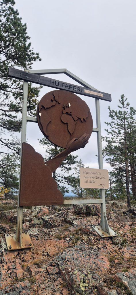
Huitaperi is a rocky hill in Ylitornio, near the village of Kainuunkylä. The Aurinkovaarat Hiking Trail passes through Huitaperi.
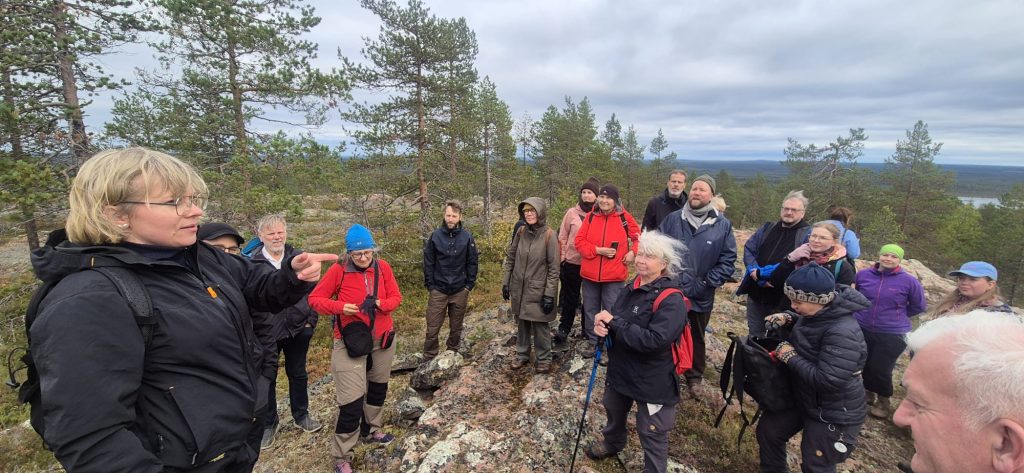
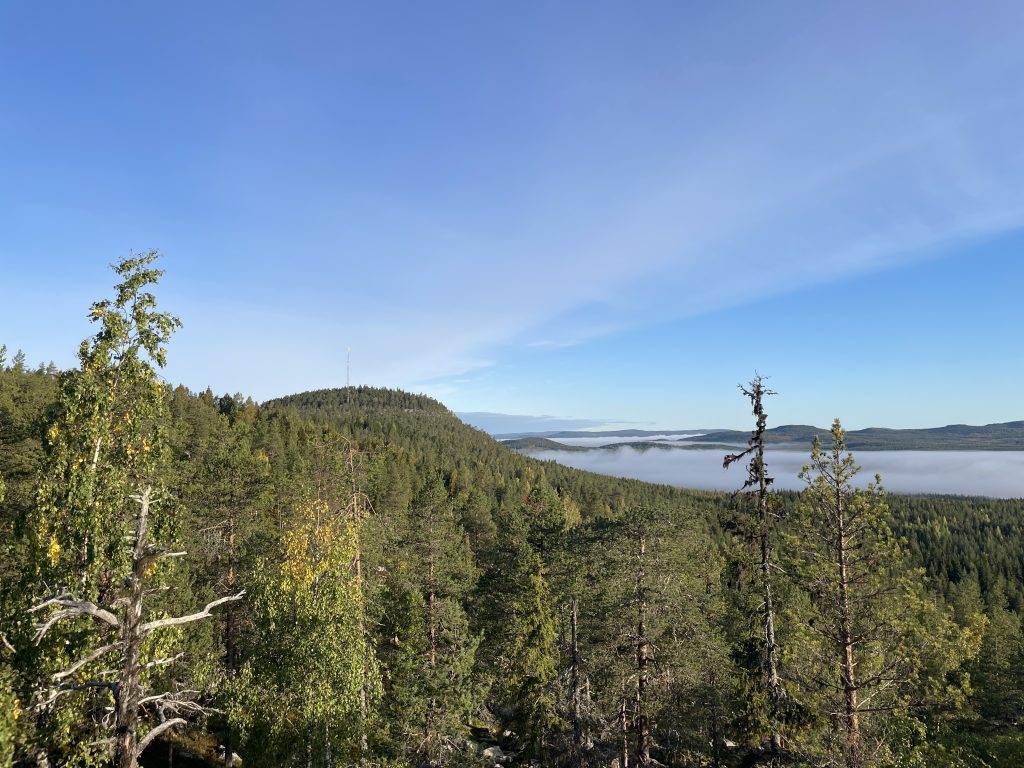
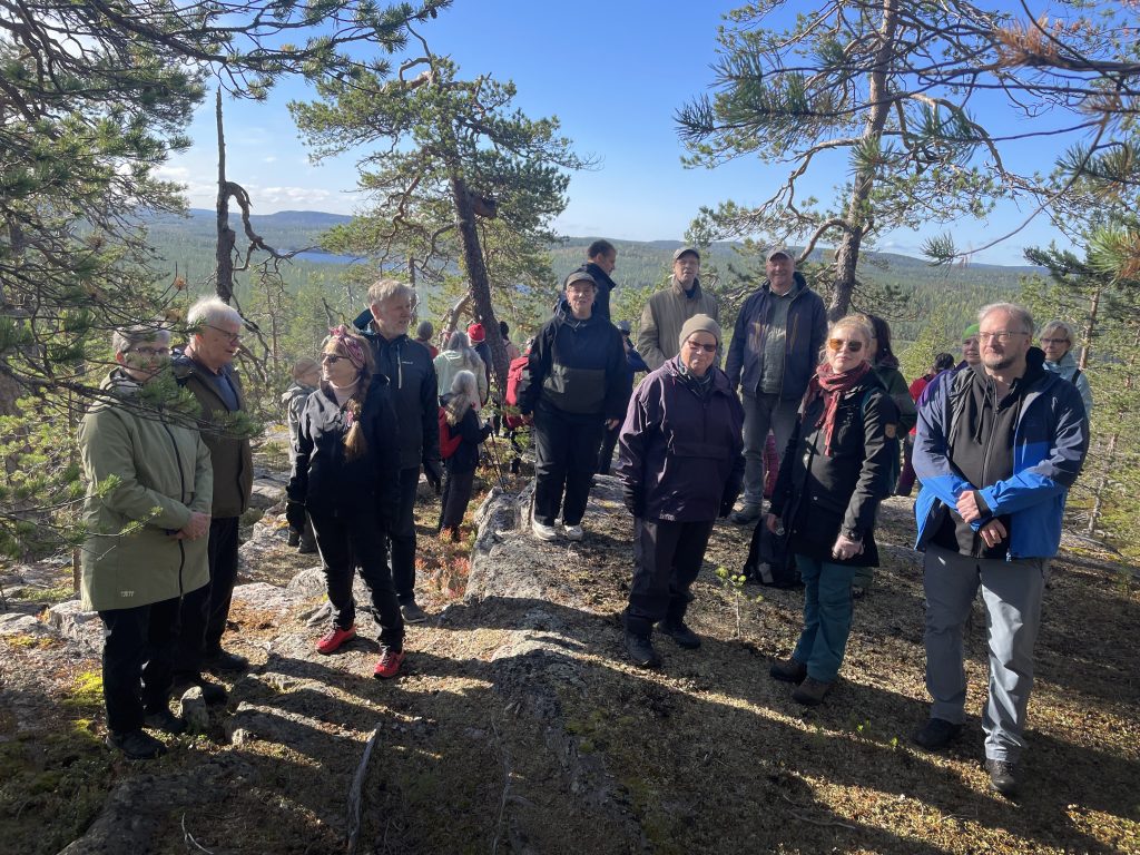
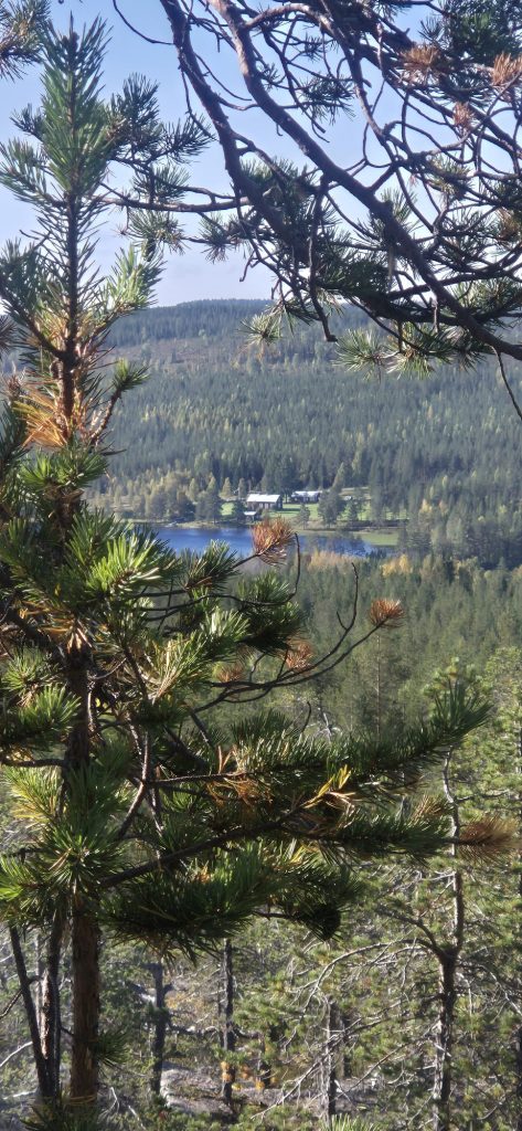
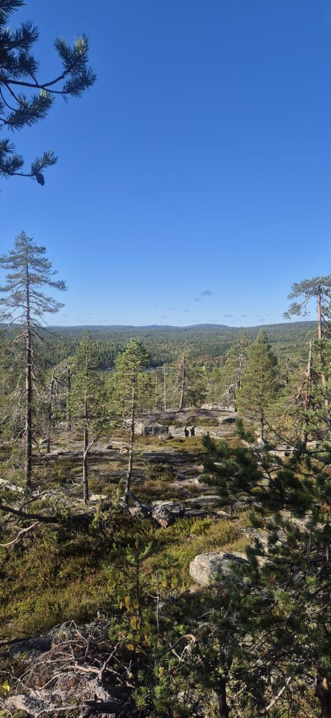
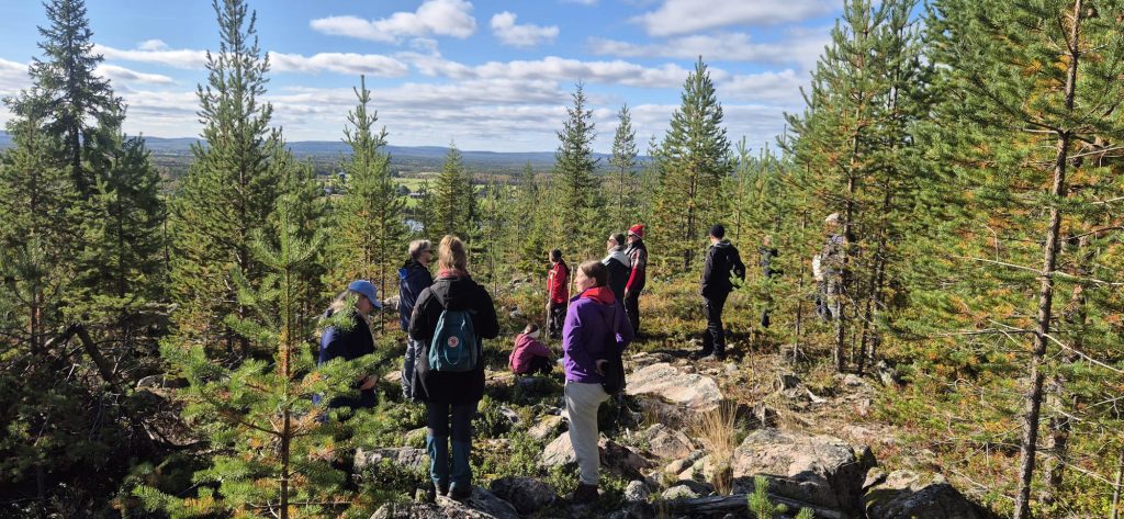
Aavasaksa can be seen on the northern horizon. Photo: Julia Autio.Photo: Julia Autio.Miila Kankaanranta, who served as the excursion guide, points out the directions of the triangulation measurements. Photo: Julia Autio.Photo: Miila Kankaanranta.
Photo: Julia Autio.
Photo: Julia Autio.
2. Aavasaksa Hill
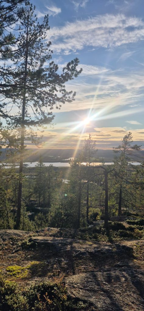
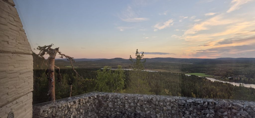
View from Aavasaksa westward toward the Torne River. Photo: Julia Autio.
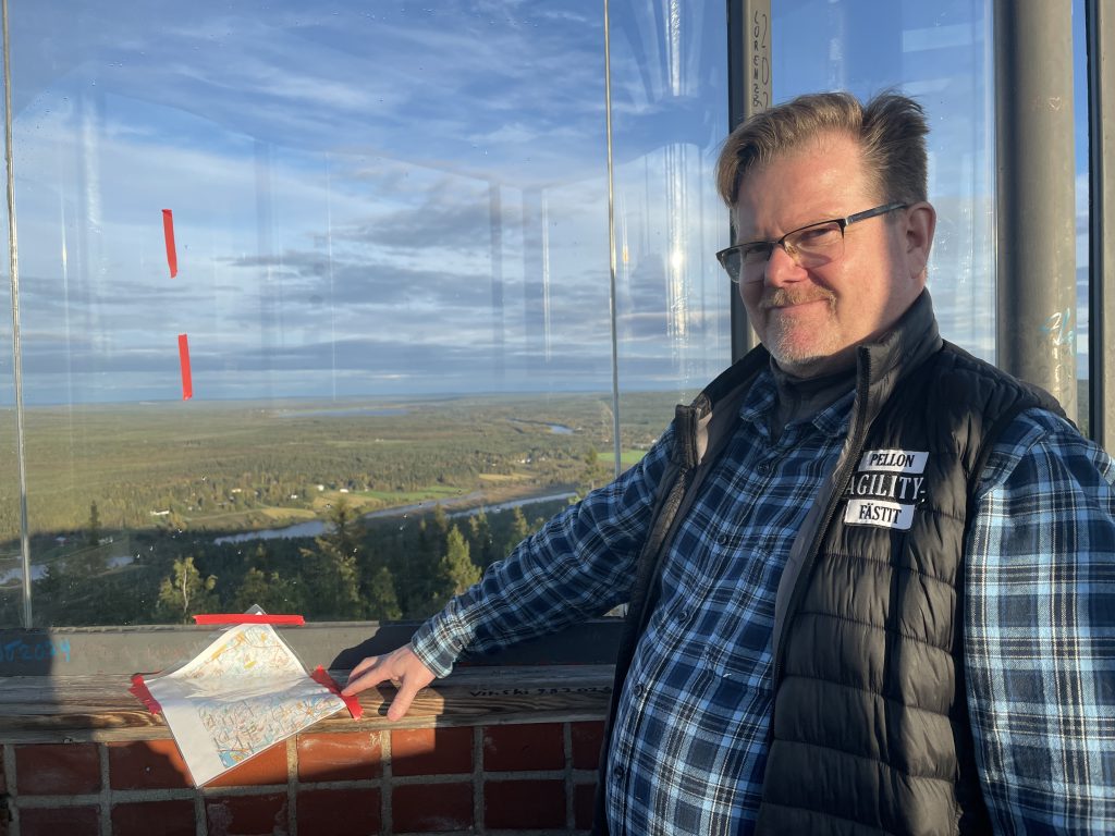
Ari Korteniemi, an experienced orienteer, was stationed in the observation tower, helping excursion participants identify the correct hills using maps and reference lines marked with tape. Photo: Miila Kankaanranta.At the summit of Aavasaksa, the highest rise visible in the photograph, stands an observation tower from which all the nearest survey points in the triangulation network can be seen. In Maupertuis’s time, the entire summit was cleared of trees to ensure unobstructed sightlines. Photo: Miila Kankaanranta.
During the two-day coach tour, the group stayed overnight at Aavasaksa. Some participants were accommodated in the cabins of Kaamos Lodge, which offer views over the Tengeliö River surrounding Aavasaksa. Photo: Julia Autio.
3. Niemivaara Hill
On the second day, the journey continued from Ylitornio to Niemivaara in Pello. Located on the shore of Lake Ajankijärvi, Niemivaara can be reached via a narrow and poorly maintained gravel road.
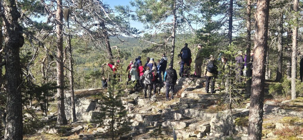
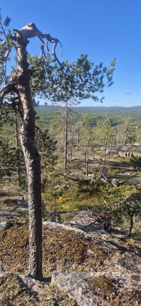
Niemivaara is characterized by its distinctive stepped rock formations. Photo: Julia Autio.
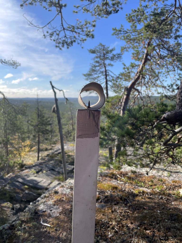
Ari Korteniemi had built a simple tool from toilet paper rolls to help identify the survey points. Photo: Miila Kankaanranta.
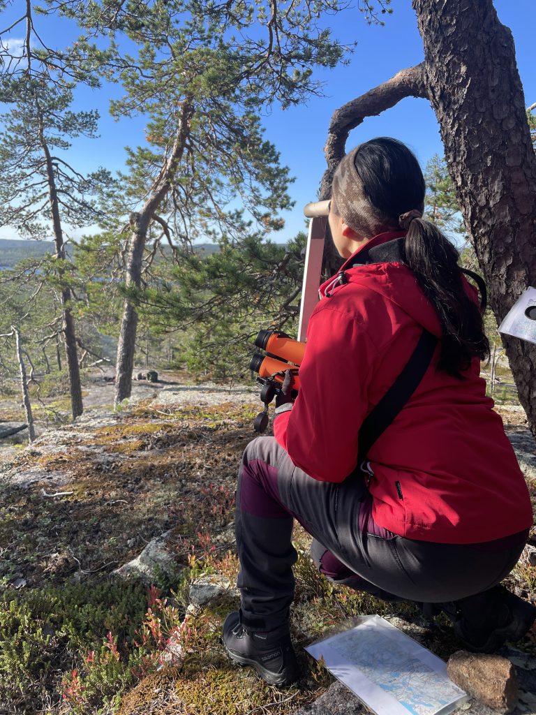
Natalia Pulakka tests a simple telescope. Photo: Miila Kankaanranta.
In the background lies the southern horizon, and somewhere beyond it is the Iso-Horila survey point. Photo: Miila Kankaanranta.
Photo: Julia Autio.
Photo: Julia Autio.
Pullinki can be seen on the horizon. Photo: Julia Autio.
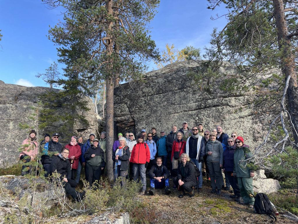
Maupertuis described the cliffs of Niemivaara as resembling great halls. The vertical rock face now serves as a backdrop for the 2026 expedition.
4. Kittisvaara Hill
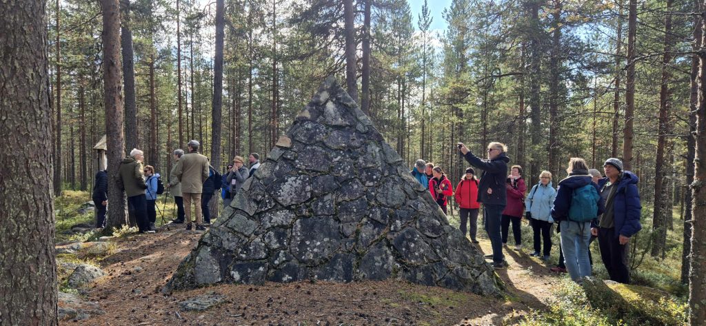
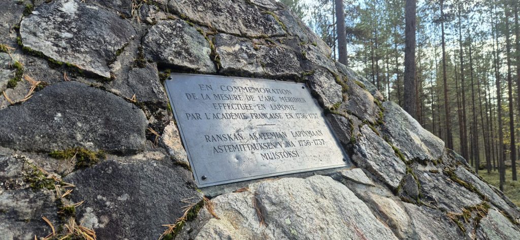
The three-metre-high memorial pyramid commemorating the degree measurement expedition on Kittisvaara was erected as early as 1956. Photo: Julia Autio.Photo: Julia Autio.Photo: Julia Autio.Photo: Julia Autio.
5. Kattilakoski
In Maupertuis’s time, the Arctic Circle passed through Kattilakoski. In his travel account Journal d’un voyage au Nord, Réginald Outhier describes how the expedition crossed the Arctic Circle. Due to the gradual movement of the Arctic Circle, it is now located farther north, in the vicinity of the village of Juoksenki.
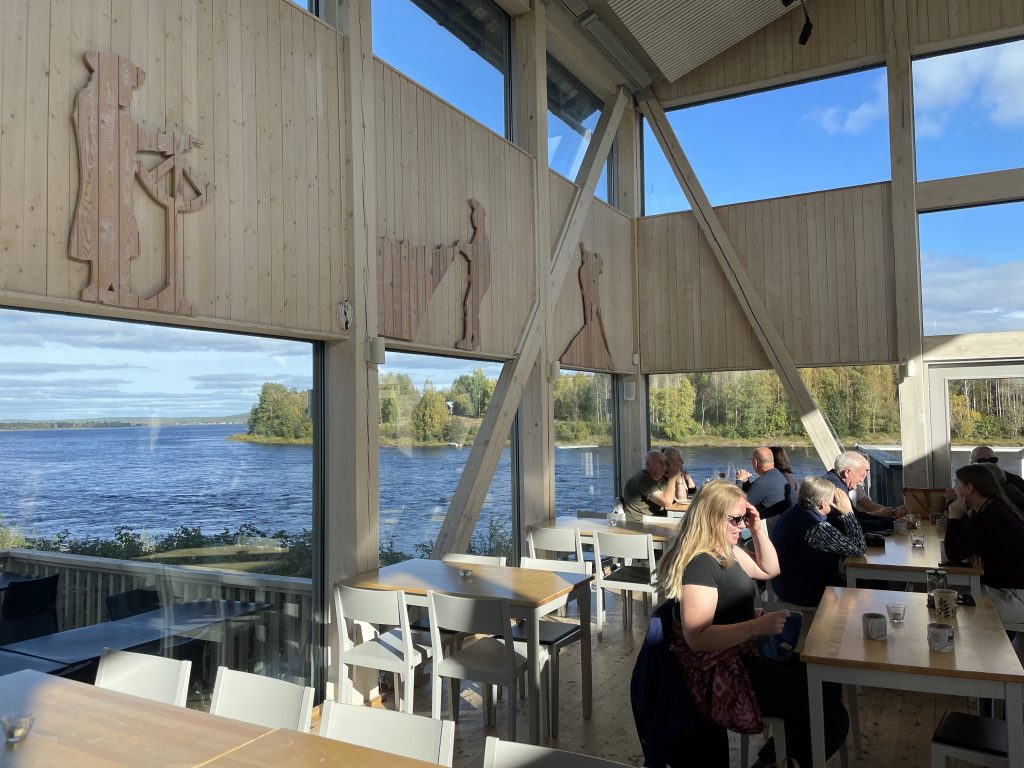
Photo: Julia Autio.The history of the degree measurement expedition is also remembered on the walls of the Kattilakoski restaurant, where one of the figures depicted along the wall is shown taking angular measurements with a quadrant. Photo: Miila Kankaanranta.
6. Matarengi Church
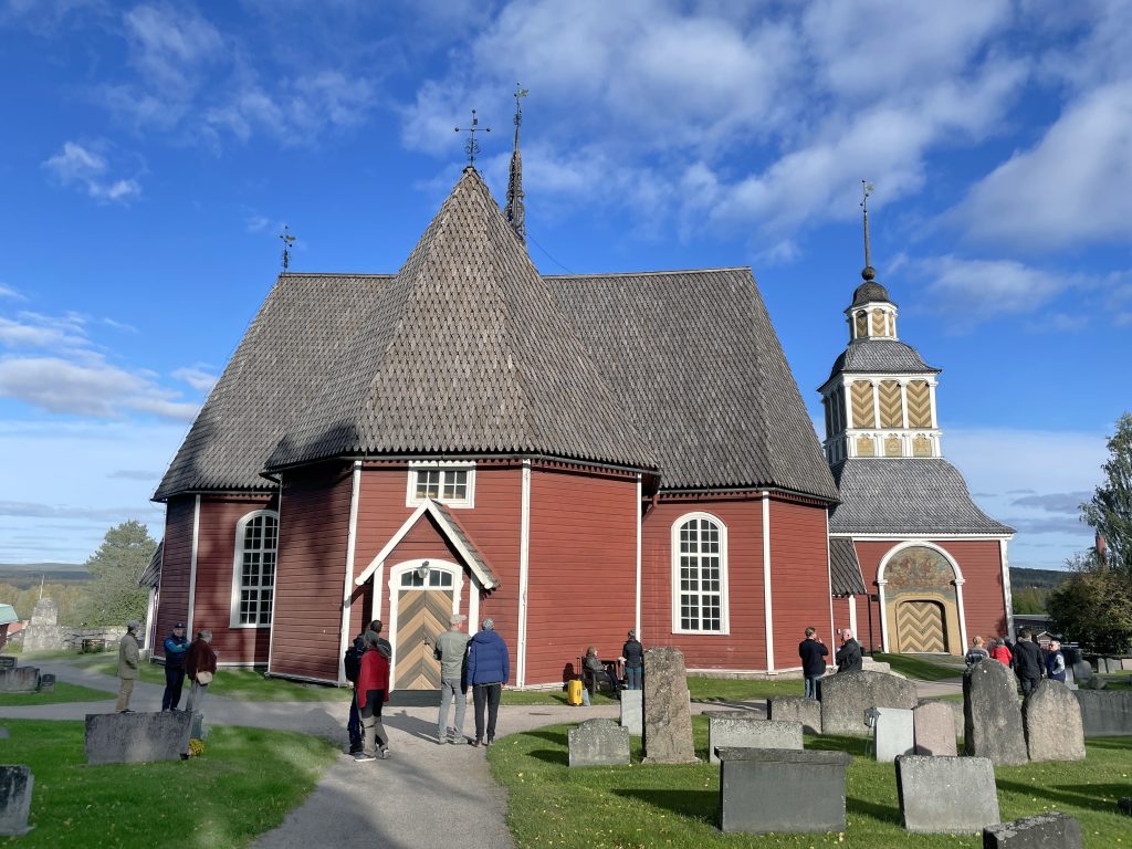
Near Matarengi Church stood the parish house where the clerical Brunnius family lived during Maupertuis’s time. They hosted the French expedition members on several occasions and, above all, assisted with the measurement of the baseline. Due to a misunderstanding, the symposium excursion group was unable to enter Matarengi Church. Photo: Miila Kankaanranta.
Symposium participant, do you have photographs that you would like to contribute to the archives of the Maupertuis Foundation or share on this website? If so, please send your photos by email to miila.kankaanranta@maupertuis.fi.
Meänraatio is a local programme of Sveriges Radio produced in the Meänkieli language. Journalist Rellu Kihlström spent the day at the symposium, interviewing members of the audience, speakers, and organizers. A report on the symposium was broadcast on Meänraatio on 7 September. The report begins at approximately the 23-minute mark: https://www.sverigesradio.se/avsnitt/meanraatio-ahti-aasa–149 A shorter excerpt from…
The three-day symposium was an intensive journey into the history of science and the sites associated with it in the Torne Valley. Physicists, historians, literary scholars, mathematicians, and surveyors. Writers, filmmakers, teachers, students, and tourism professionals. Retirees, middle-aged participants, and young people. Visitors from Central Europe, Sweden, and Finland, from both the south and the…